Sports
Bald Hill: Amazing Views and Wildflowers
Hike to the top of Bald Hill from Phoenix Lake. Sweeping views, early wildflowers and maybe some snow! Five and a half miles. Dogs on leash OK.

We always approach a climb up Bald Hill (Mt. Baldy) with a bit of trepidation. The hill is 1,141-feet tall and climbing to its dome-shaped peak from Natalie Coffin Greene Park in Ross is a strenuous endeavor. This time, however, the lure of late winter wildflowers and views of snowcapped peaks around Marin and the Bay Area was irresistible.
In fact, the climb up isn't so bad. We walked and jogged it with great anticipation for what was around each corner. The road out of the Phoenix Lake basin is called Worn Springs Fire Road. It is named after George Austin Worn, whose family helped found the town of Ross and whose family estate is now the Marin Art and Garden Center. Worn Springs is only about a half of a mile up the road, and a horse trough there is a nod to the historic use of horses in Ross. There are also remnants of an old homestead visible in some of the plantings on the hillside next to the small, covered Ross Reservoir.
The road winds out of the oaks, madrones and bays and into a gorgeous grassy hillside bowl. We often see hawks hunting this area, and this trip was no exception. A venerable old Northern Harrier with a massive wingspan slowly cruised the grasslands for prey.
Find out what's happening in San Rafaelwith free, real-time updates from Patch.
The trail wraps up and around the bowl and views of San Francisco Bay start to appear. Marin islands in the foreground and the San Francisco skyline to the south are prominent features of the view. With the recent cold snap and snow forecast, we were also looking for the taller peaks of Mt.Tamalpais, Diablo, and Big Rock Ridge to be covered in snow. Even Bald Hill could have snow this week for the first time in many years.
At the top of Baldy, the trails can be a little confusing. We used Don and Kay Martin's Hiking Marin (hike C3) to guide us. At an unsigned Y just shy of the top we veered right to access the 360 degree views. From there, an unofficial trail continues to the back of the hill and rejoins the fire road that was the left branch of the previous Y. But as the trail comes back in, another unsigned Y provides a choice. For this Y you must veer left to descend along the hillside to Yolanda Trail.
Find out what's happening in San Rafaelwith free, real-time updates from Patch.
Just after the fire road traces along the back edge of the residential neighborhood of Ross's Upper Road, we picked up the signed Yolanda Trail on the left. Yolanda Trail traverses back along the lower slopes of Baldy. Just after this junction we noticed a patch of the violet flowers called Shooting Stars. They are bravely withstanding this late winter chill for the hope of warmer days. We also saw Hounds Tongue, vetch, Lupine, Milk Maids, and Sticky Monkey Flower along the warmer south facing slopes.
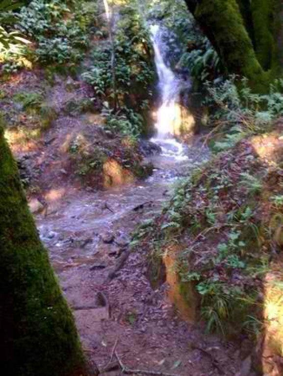
The northern section of Yolanda traverses to Six Points. From there, southern Yolanda Trail works it way back to Worn Springs Road. Beautiful views of Mt Tam, and numerous rocky streams make this section of Yolanda one of our favorite trails in the Mt. Tam watershed. We headed back down to the Natalie Coffin Greene parking lot to complete the 5.5-mile, hilly, but well-worth-it loop.


